EXPLORE
SE Oregon Desert
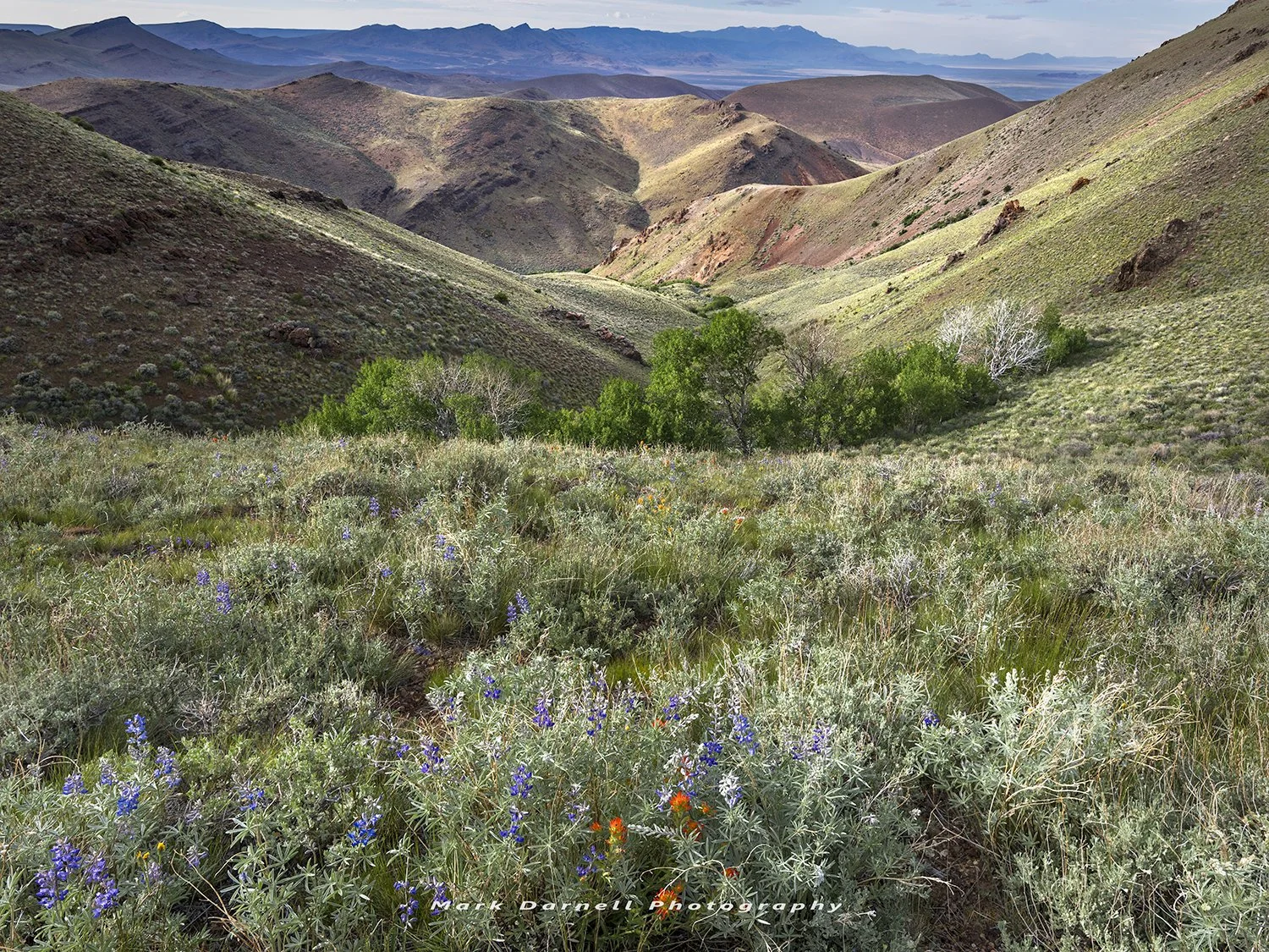
Summer Lake and Winter Rim • Abert Lake and Rim • Hart Mountain • Steens Mountain and Alvord Desert • Pueblo, Trout Creek, and Oregon Canyon Mountains • Owyhee River Canyon
Summer Lake and Winter Rim


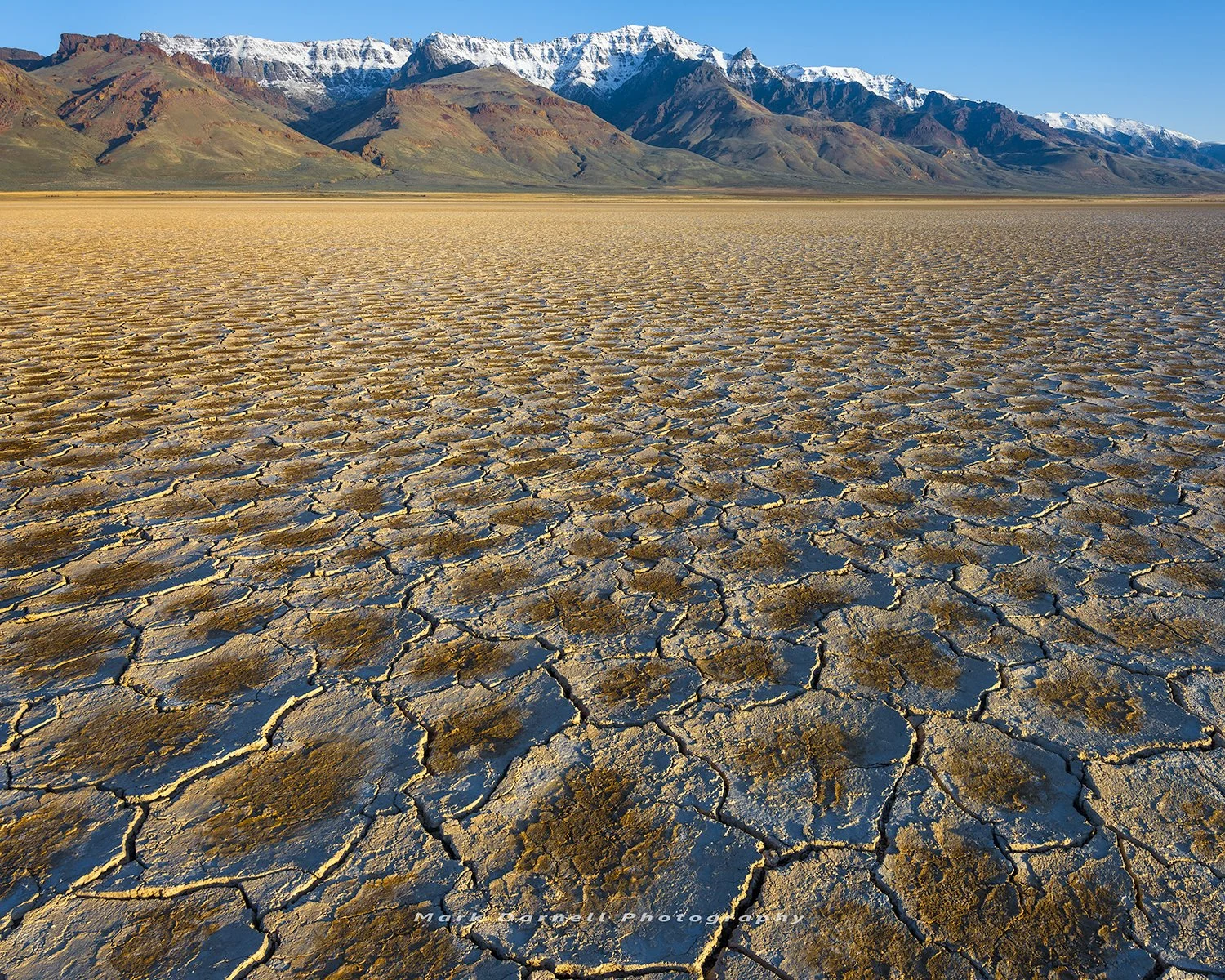
Abert Lake and Rim


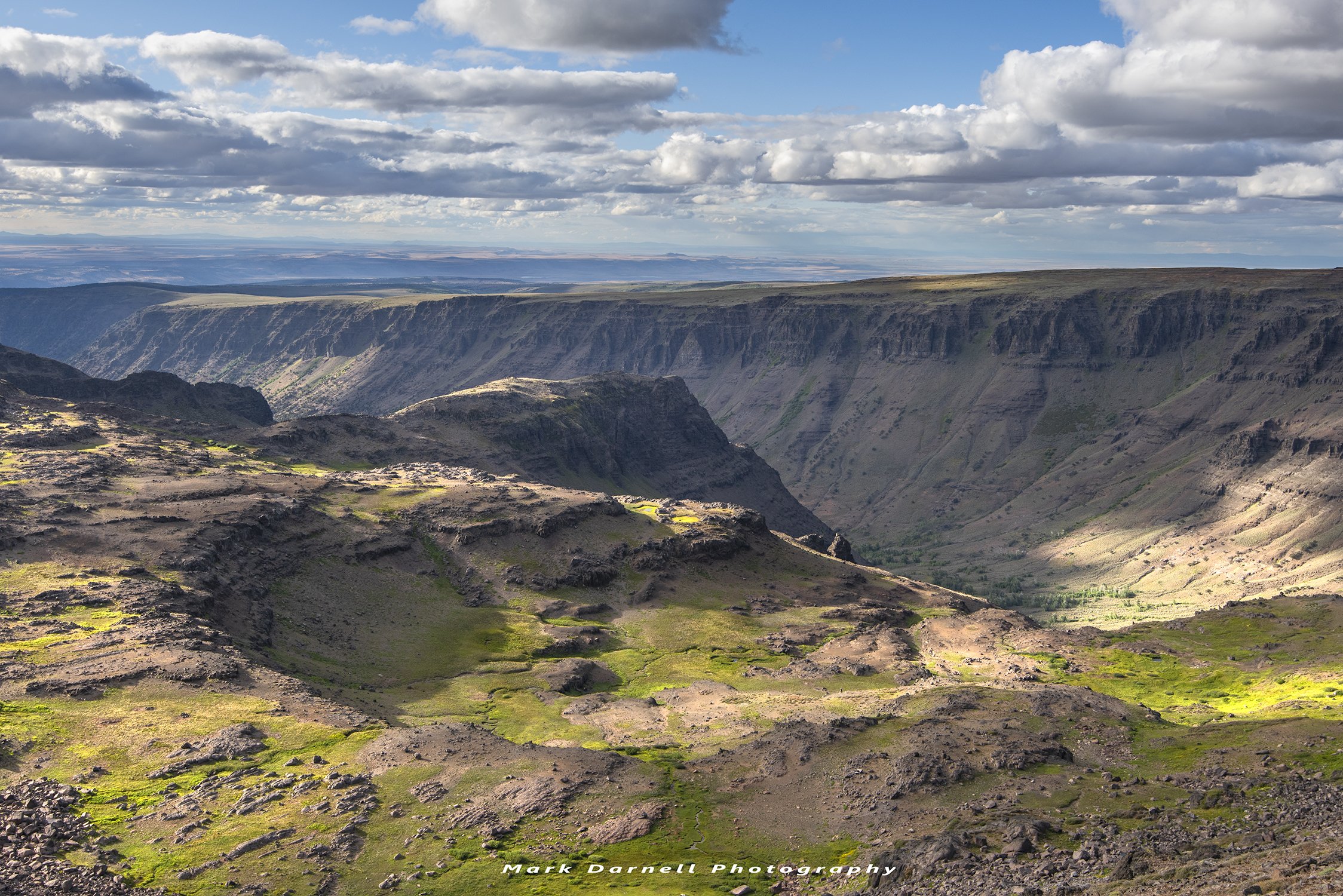
Hart Mountain


Steens Mountain and Alvord Desert


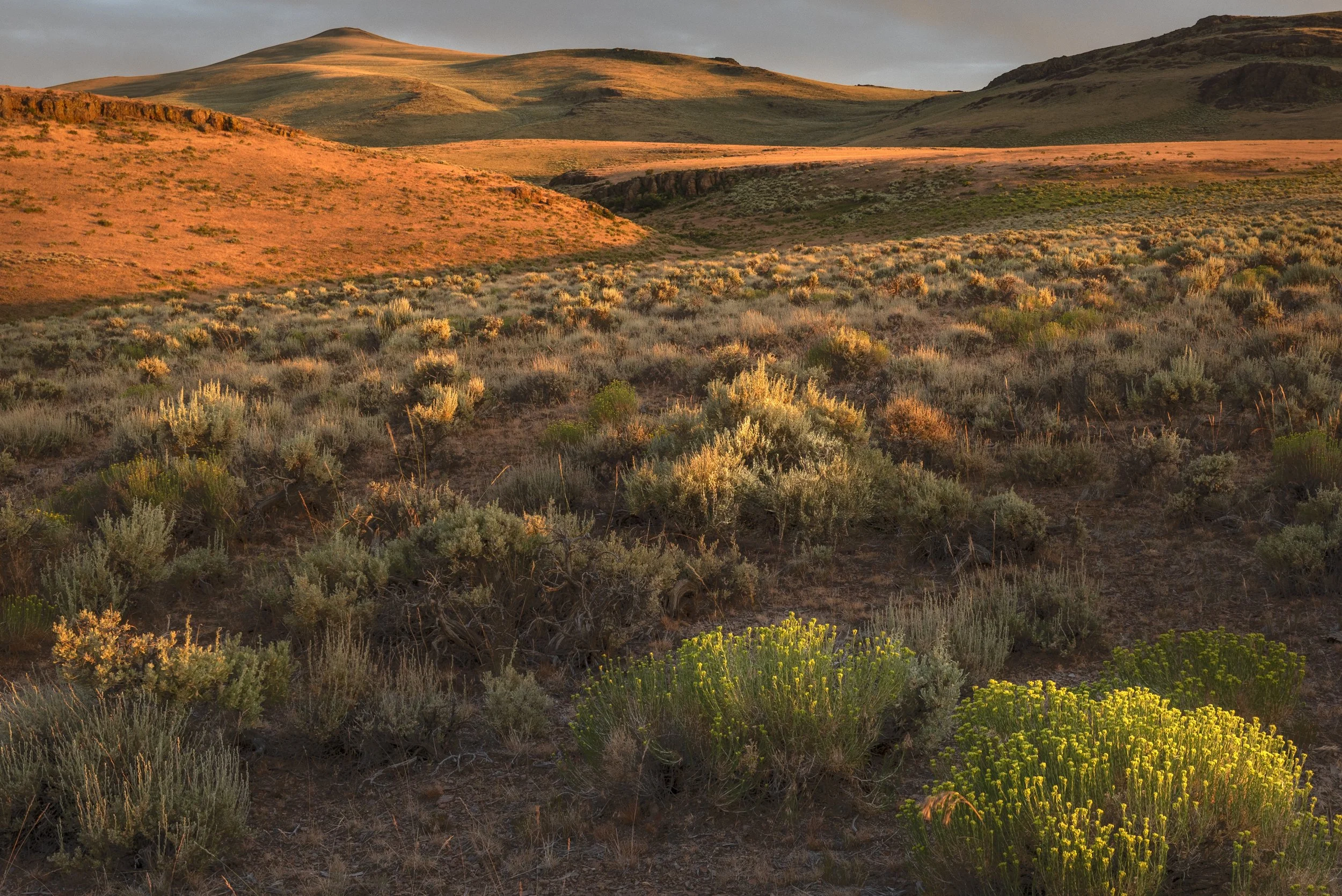


Pueblo, Trout Creek, and Oregon Canyon Mountains


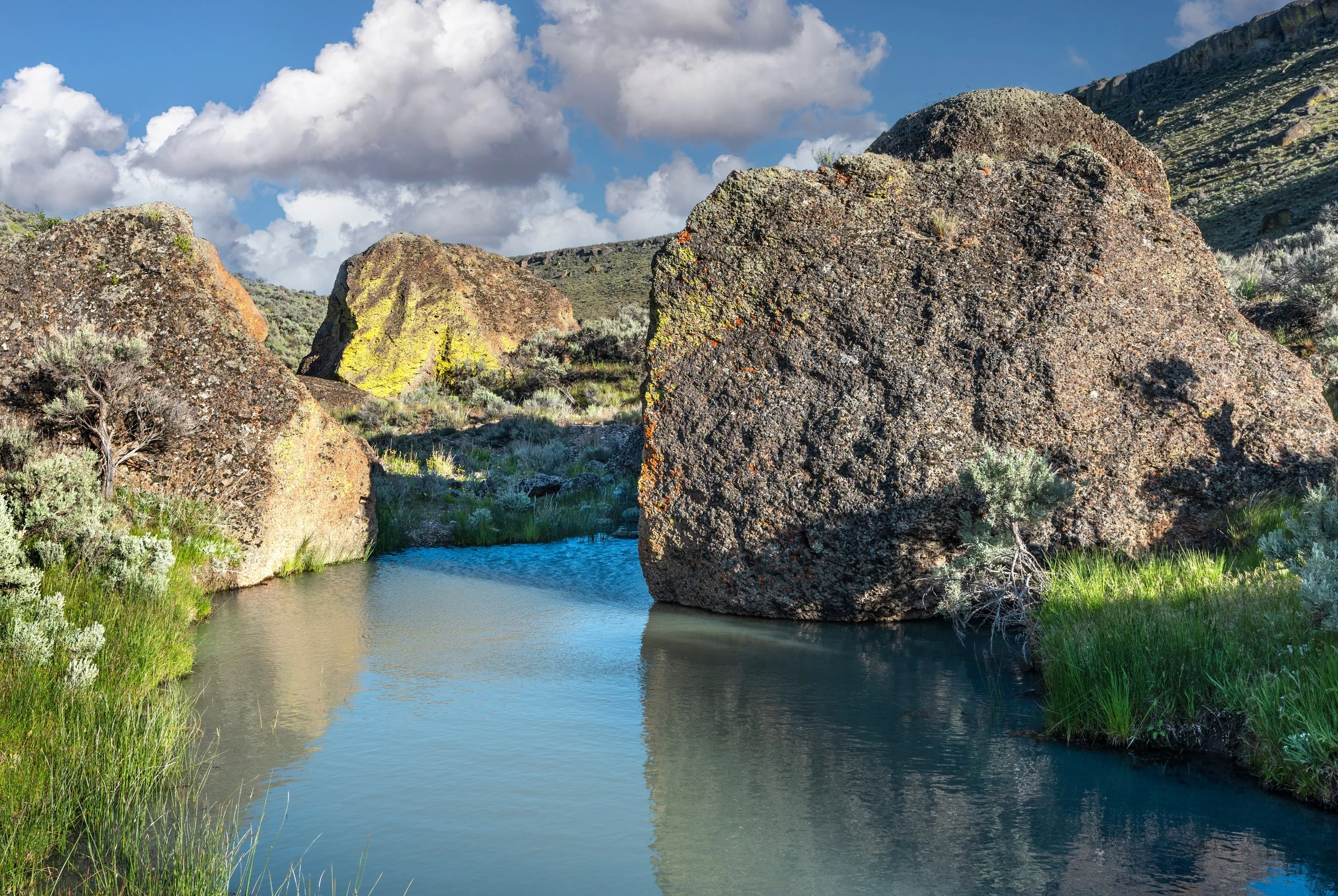
Owyhee River Canyon